Super Typhoon Champi Halts Taiwan: Flights Canceled, Markets Shut Amid El Niño Fury
Updated 14:39 23 Oct 2026 GMT+1Published 11:21 23 Oct 2026 GMT+1
One person has died from being swept away by waves, while the storm has also injured 171 people and forced 1,000 others to evacuate
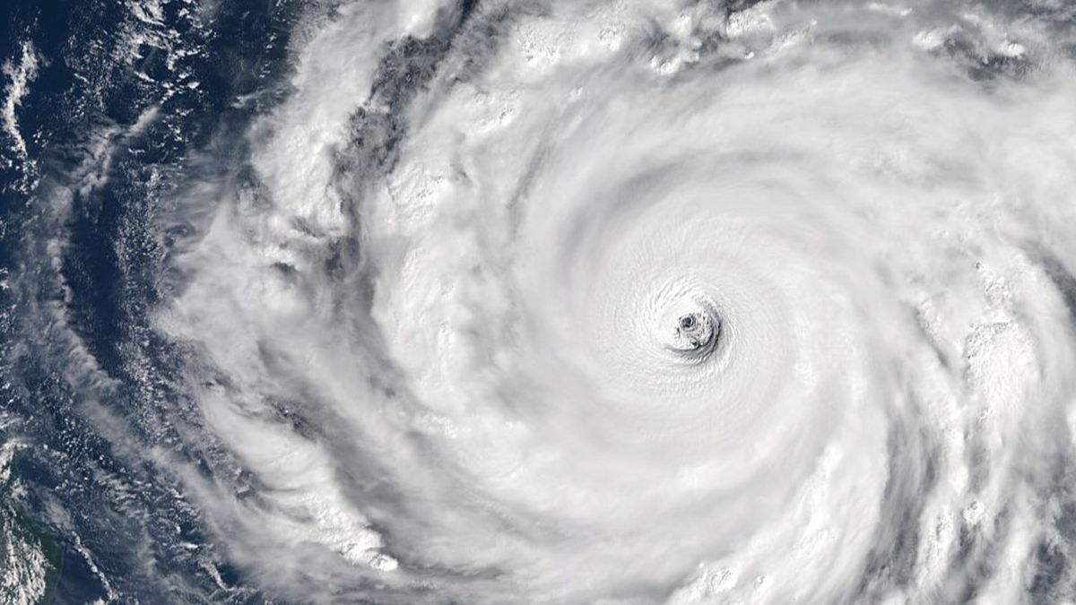
Taiwan has been brought to a near standstill as Typhoon Champi, one of the most powerful storms in the Pacific this year, has devastated the island.
Hundreds of flights in East Asia have been cancelled on Friday (23 October), due to wind gusts of 191km/h (119mph) with 90cm (35in) of rain forecasted to last until Saturday evening.
Officials say one person has died from being swept away by waves, while the storm has also injured 171 people and forced 1,000 others to evacuate.
Taiwan’s $5tn (£3.7tn) financial markets, schools and government offices have been forced to shut across almost the entire island, with a population of 23 million people.
Advert
Champi, which reached super typhoon status earlier this week, recorded maximum sustained winds of 298km/h (185mph) at its peak, equivalent to a Category 5 hurricane.
Sandbags and flood barriers have been placed outside buildings as Typhoon Champi approaches Taiwan (I-Hwa Cheng / AFP via Getty Images)
It has been fuelled by a Super El Niño, which happens when normal, east-to-west trade winds weaken or reverse, causing warm water to pool along the Americas and disrupt global weather, often causing heavy rains in some regions and severe droughts in others.
While there have been only a handful of these cases since 1950, the World Meteorological Organization said this El Niño is likely to strengthen over the rest of 2026, driving more extreme weather around much of the globe.
“El Niño is the main driver,” said James Caron, director of meteorological operations for North America and Asia, at Atmospheric G2 told Bloomberg.
“The biggest threat is extreme rain over northern and northeastern Taiwan.”
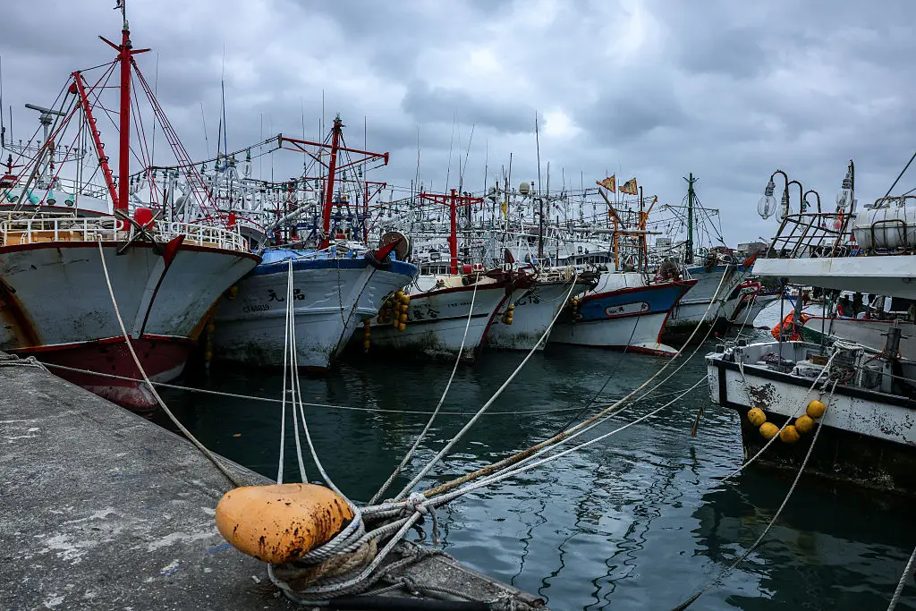
Fishing boats are moored at a fishing harbour as Typhoon Champi approaches Taiwan (I-Hwa Cheng / AFP via Getty Images)
“In late October the northeast monsoon is already in place, and a typhoon passing nearby pulls that flow into the island’s terrain,” he said, adding that it could potentially cause as much as 46cm (18in) over greater Taipei, risking catastrophic flash floods and landslides.
CWA forecaster Liu Pei-teng told Reuters that landfall could not be ruled out if it ‘stalls, loops, or wobbles from side to side’.
“The storm's wind radius is quite large, among the bigger ones in recent years," Liu said.
“If the storm slows down, the strong winds will affect Taiwan for longer.”
Lee Ming-chen, head of the port town of Suao noted that ‘when necessary, the military will come in to help people, including using amphibious vehicles for evacuations or disaster relief’.
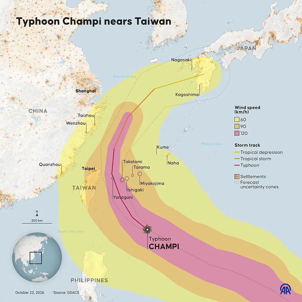
Hundreds of flights have been cancelled (Yasin Demirci/Anadolu via Getty Images)
In Japan's southern Okinawa prefecture, approximately 8,400 households experienced power outages as the storm approached.
The Philippines also suffered severe weather, particularly in the northern Batanes islands, where enormous waves struck coastal communities and roads were closed.
Weather agencies predicted Champi would pass close to Taiwan's northeastern coastline before moving towards Japan's Okinawa islands and eventually curving northeast towards mainland Japan.
However, meteorologists warned that unpredictable movements could still bring the storm directly over Taiwan.
Heavy rainfall was expected to peak on Saturday morning, with dangerous conditions continuing into the evening.
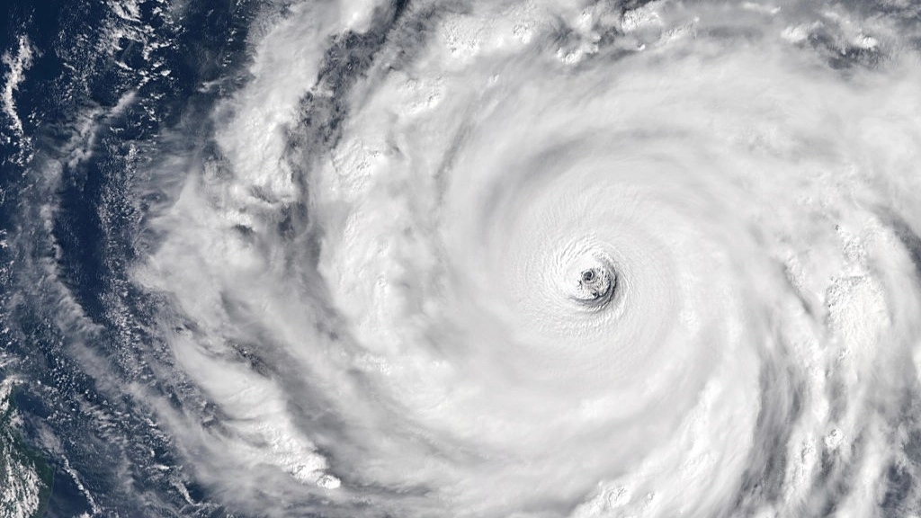
Featured Image Credit: Gallo Images/Orbital Horizon/Copernicus Sentinel Data 2026
Topics: Weather, World News